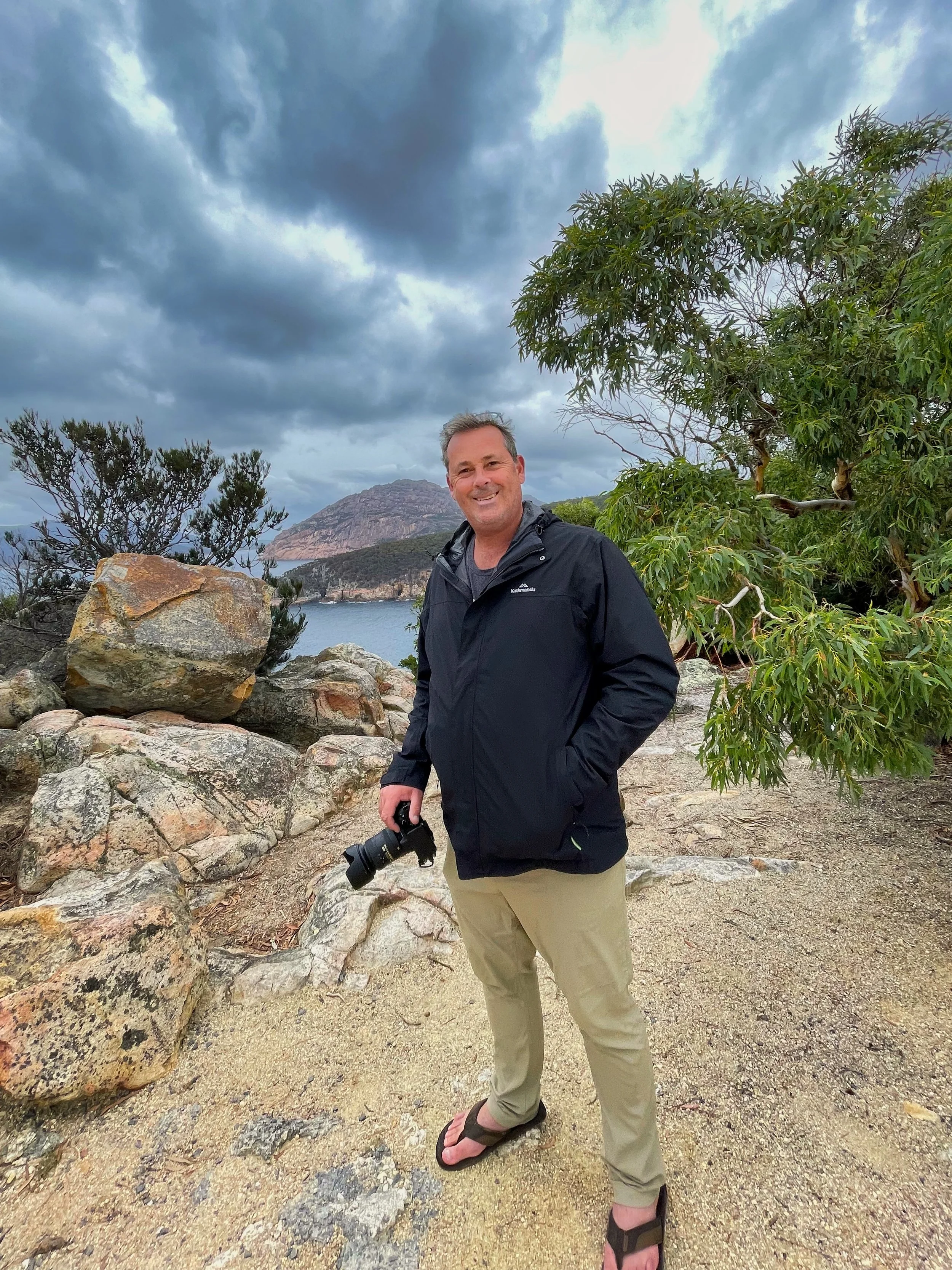
12th Light - Coles Bay
We have started to consider when embarking on future trips that we perhaps entirely ignore east coast destinations? Sadly, again we woke to terrible conditions and could only wait patiently for the rain to stop and weather to clear. That’s not too hard a task, however when itching to eyeball the infamous Wineglass Bay, we would have done a Navajonian sun dance if it helped the cause.
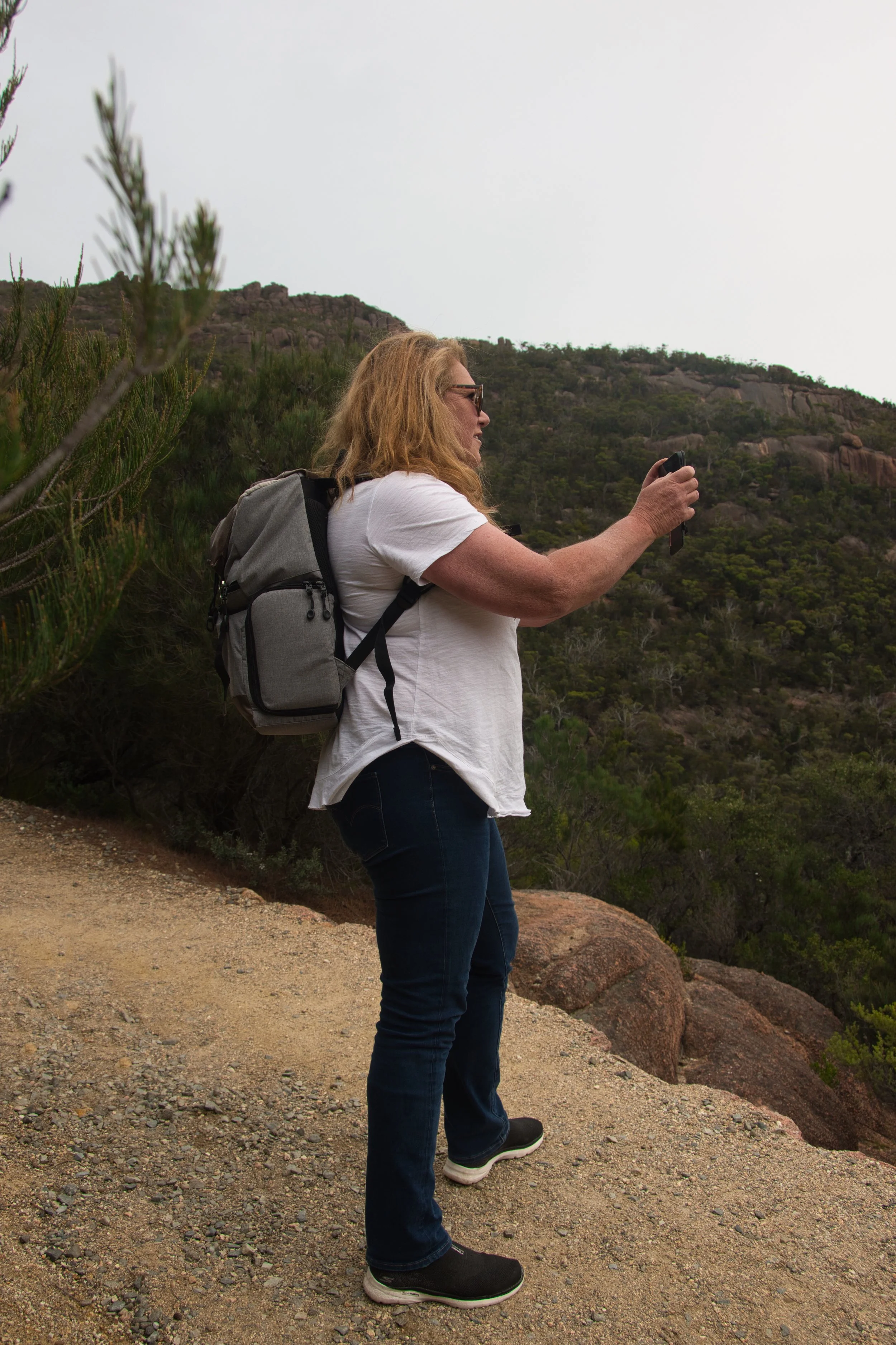
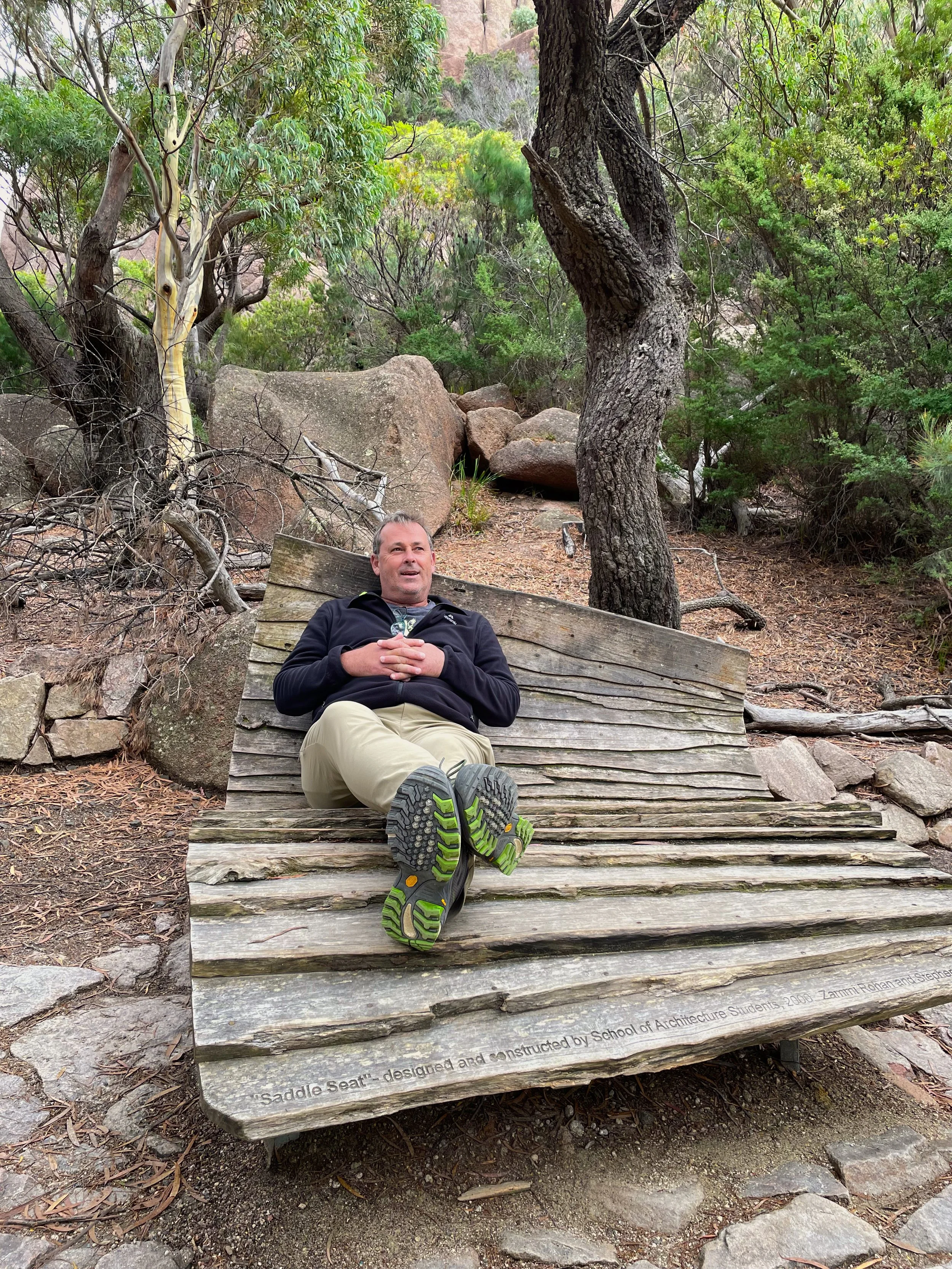
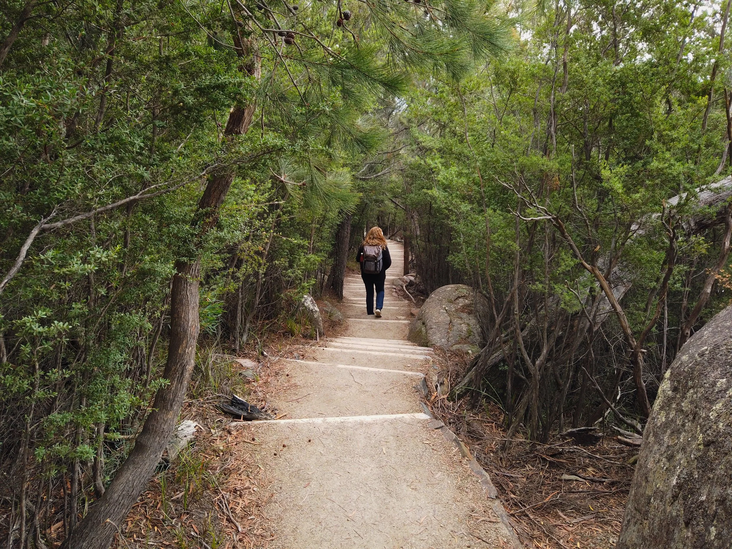
But there came a time to get off the pot so we loaded up the backpacks and committed to the day. Coles Bay is the last bastion of civilisation on the peninsular, and only a short drive - or walk for the keener - to Honeymoon Bay for the start of many bush walks throughout the region. There are loads to choose from, and we selected the popular Wineglass Bay Lookout track which was about 4 km and 2 hours according to the guides. It started as a relatively easy hike on wide, cleared ground, but as suspected always in an upward direction. There were however numerous places to rest, regroup, or just admire the view along the way.
The peninsula was once the exclusive domain of the Pydairrerme people, or Oyster Bay tribe, for 30,000 years. They lived off the bounty of sea and forest with some of the tracks in the region paved by these original inhabitants thousands of years ago.
French explorer Louis Claude de Freycinet’s name was given to the peninsula in 1802 by expedition leader, Nicolas Baudin, while mapping the southern coasts of mainland Australian and Van Diemen’s land.
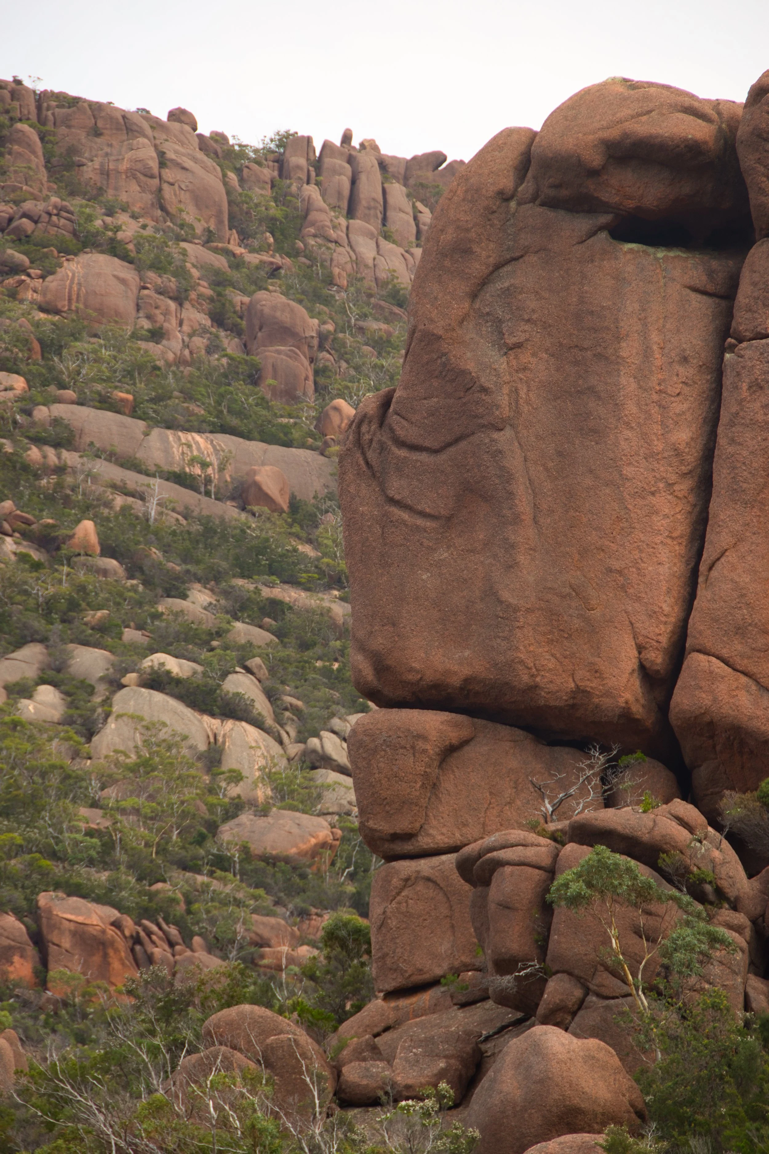
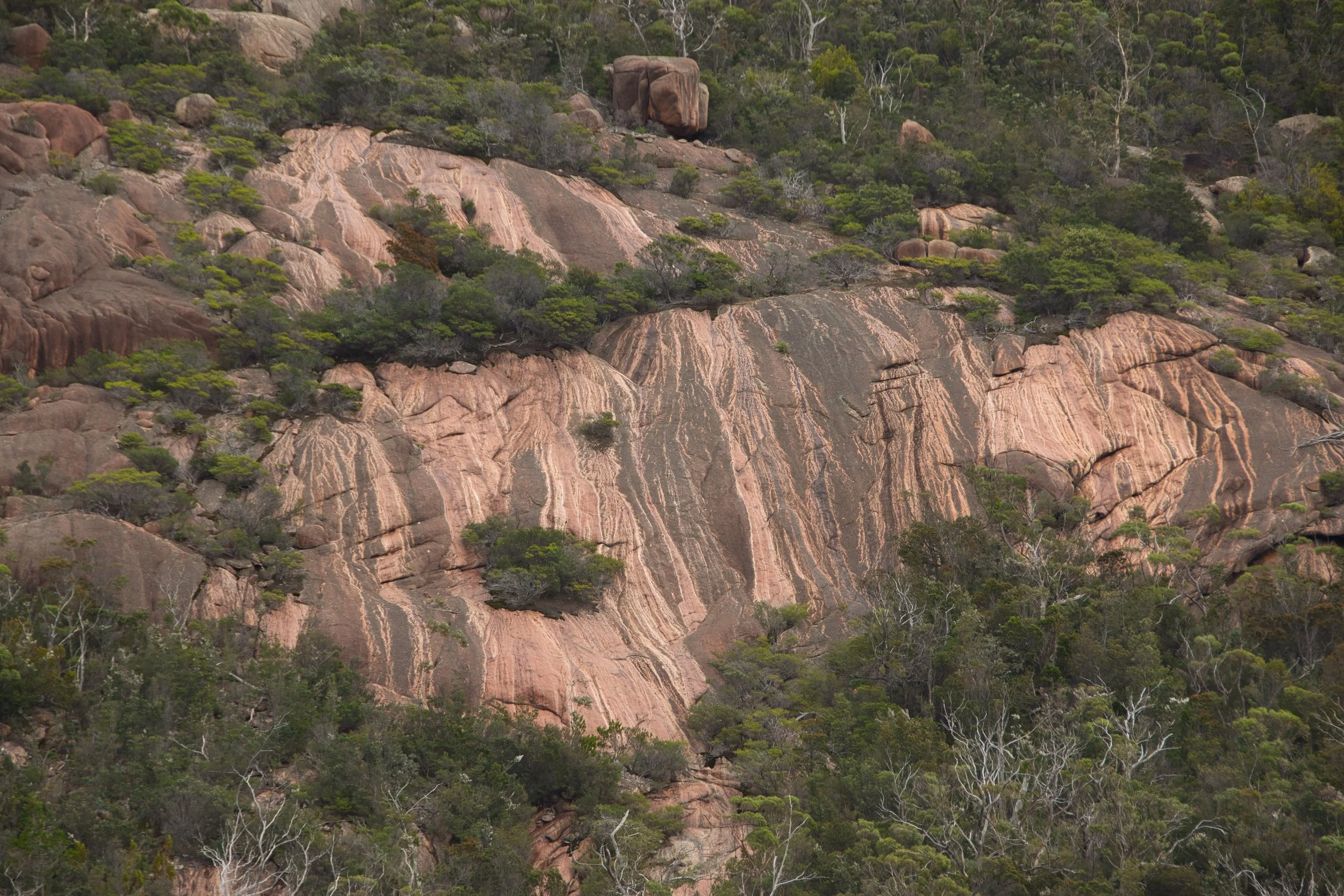
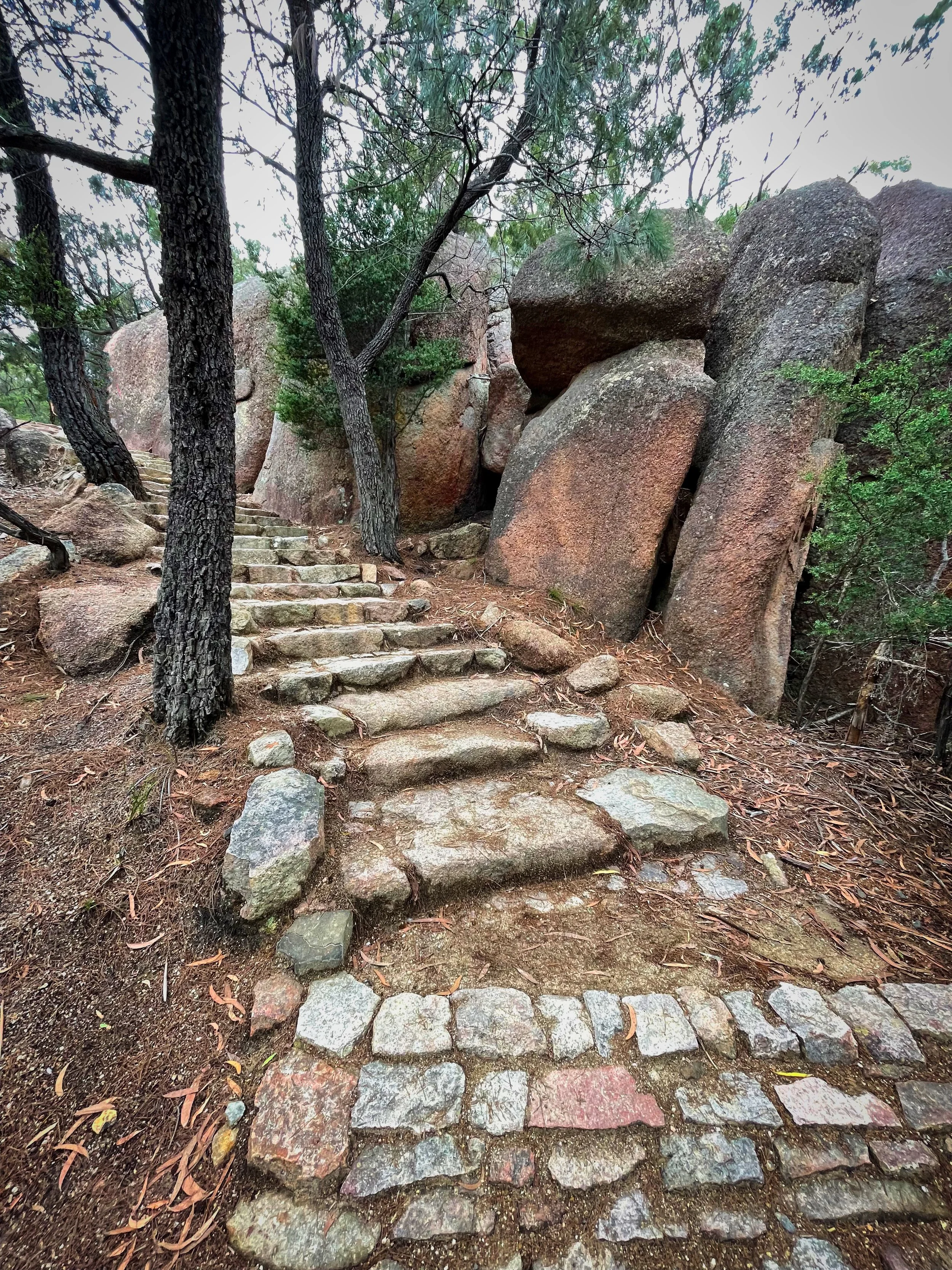
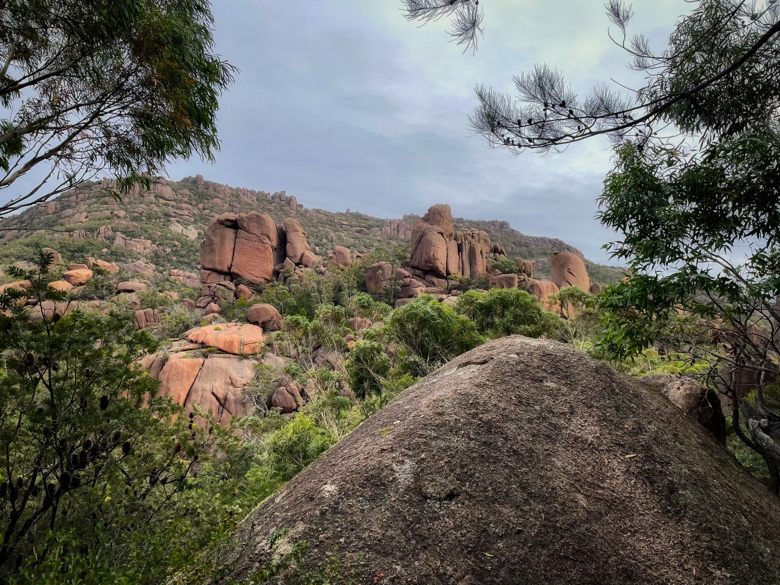
The walk soon became strenuous, but still very enjoyable with the landscape providing a welcome distraction. The many boulders and rock formations looked surreally out of place, while the vegetation was distinct and unlike any we have seen thus far throughout the state. At times it was reminiscent of the Northern Territory, particularly with the pinkish hue of the granite boulders. Onward we marched along the one-way track until reaching a spur many believe to be the summit. Wishing nothing more, the final 400 metres was a significantly steeper climb on perfectly spaced steps through a valley between The Hazards peaks.
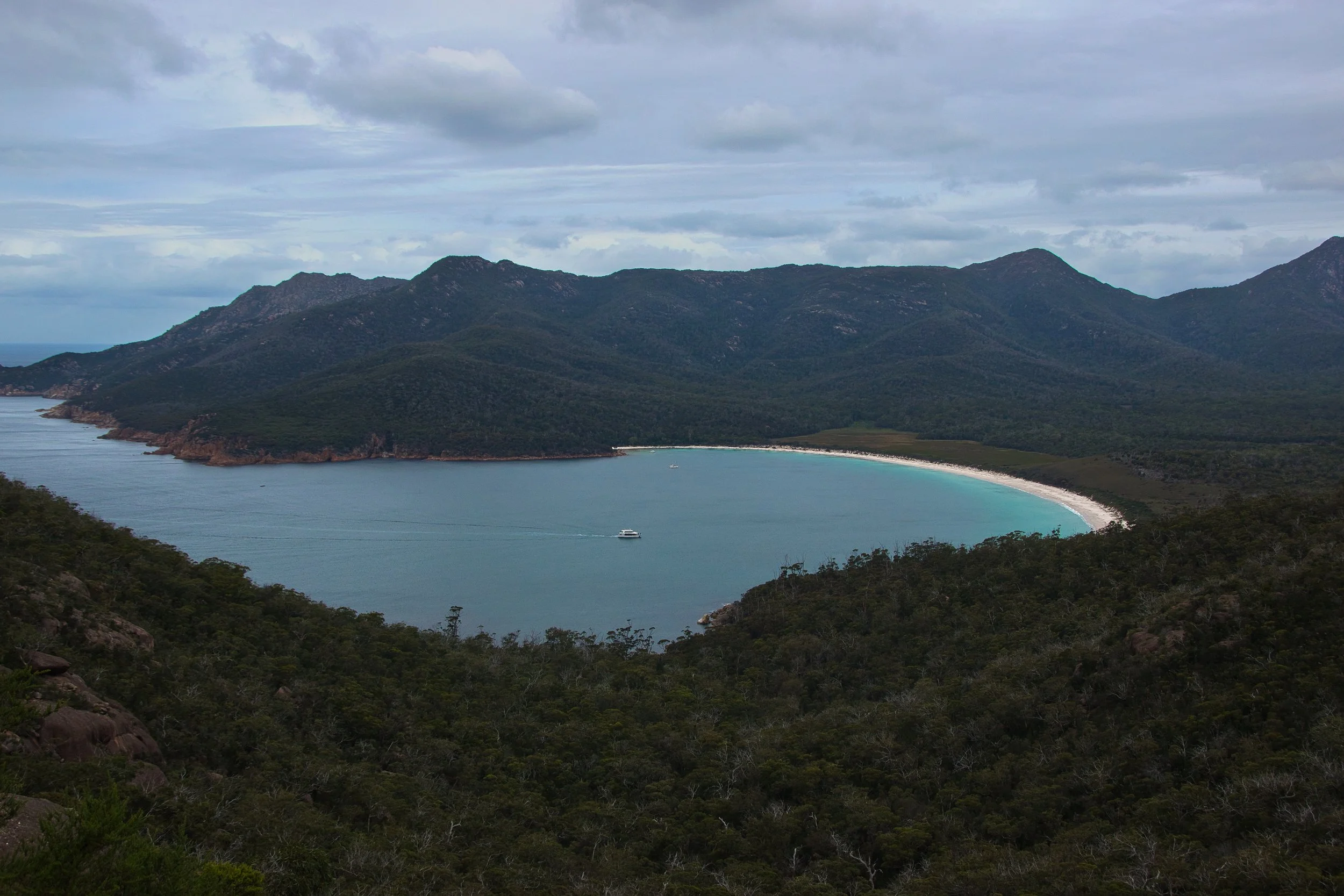
With our wineglasses usually in an inverted position, we found it slightly difficult drawing the long bow comparison to this iconic bay. However the name actually has a darker meaning and nothing to do with the crescent shaped shoreline. In the 1820’s whalers came to the region and for 20 years harpooned their prey, dragging their carcass’s toward the shore. Here they were butchered, and the soft blue waters stained with blood resembling the rich hue of a glass of red wine. By the 1850’s the whalers were replaced by sheep and cattle graziers then coal and tin mining. Degradation of the environment continued until 1916 when the peninsula was declared the states first National Park.
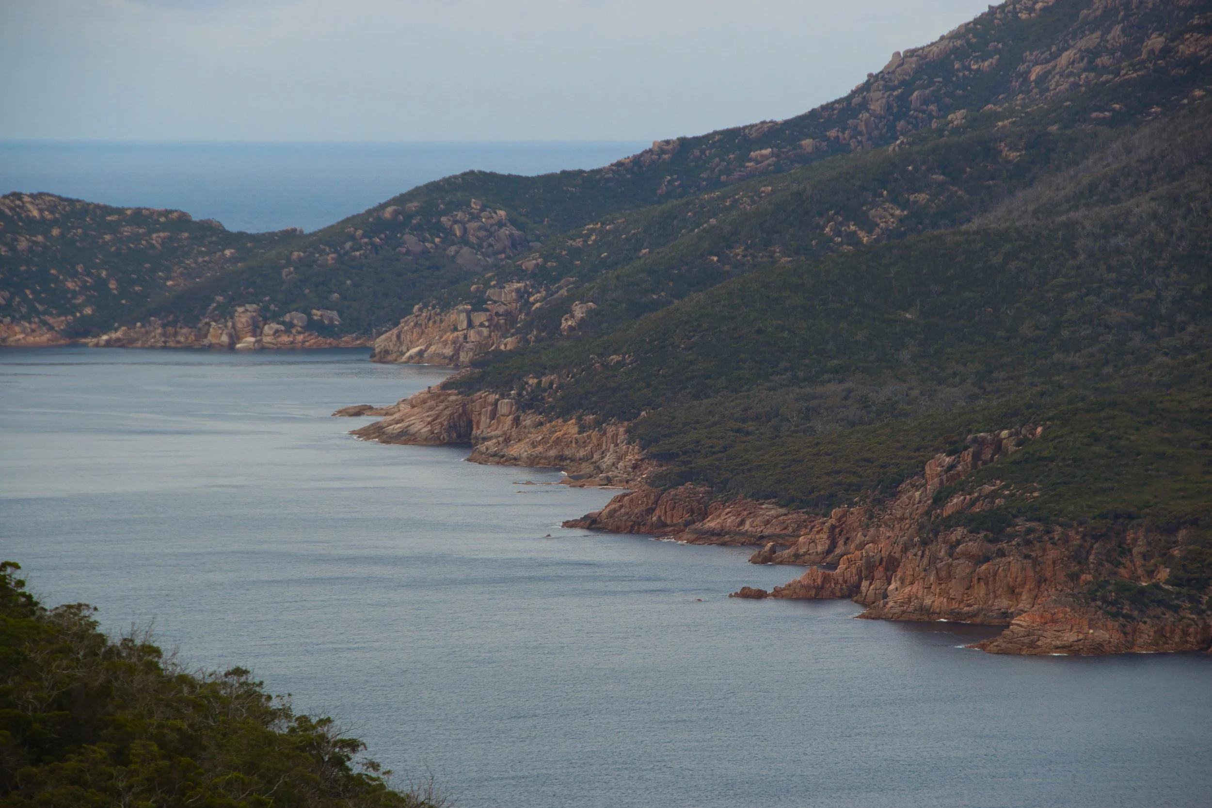
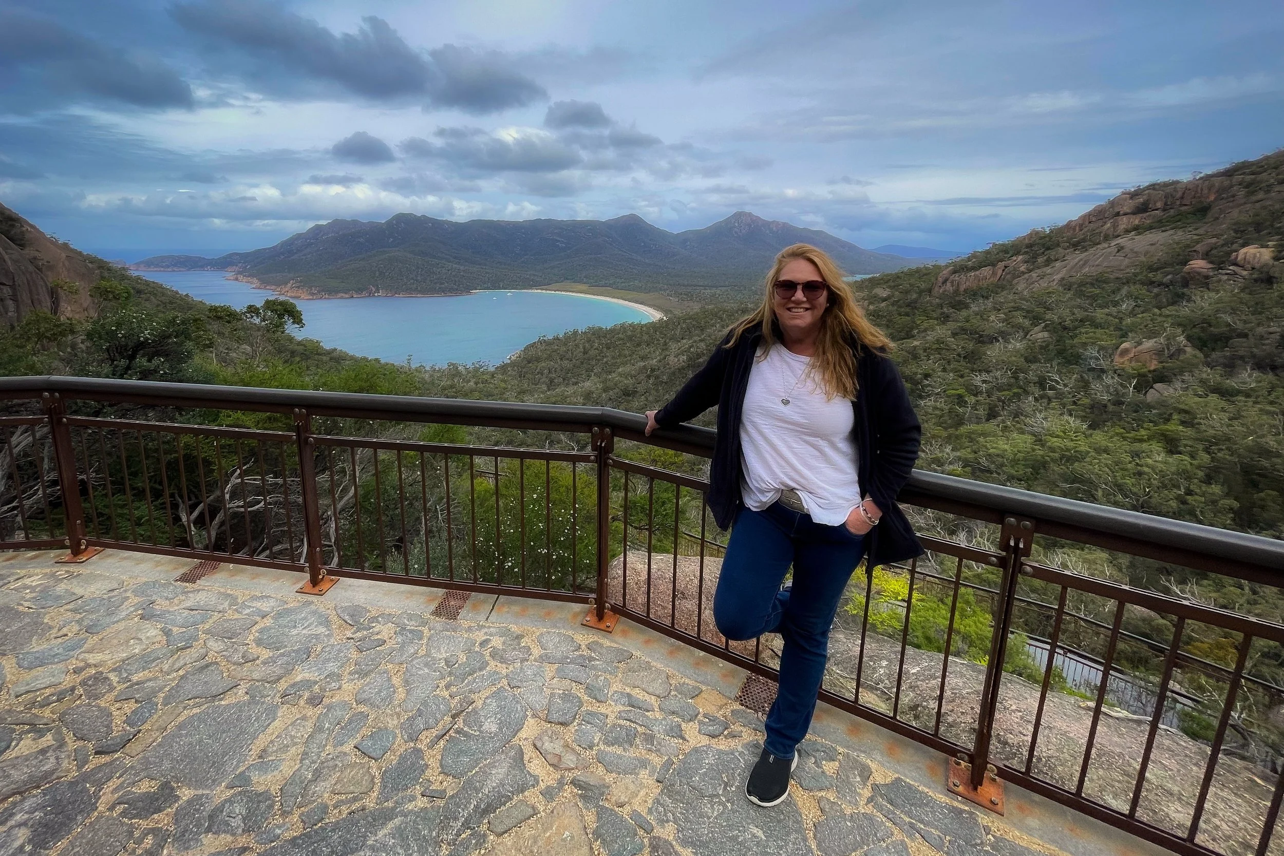
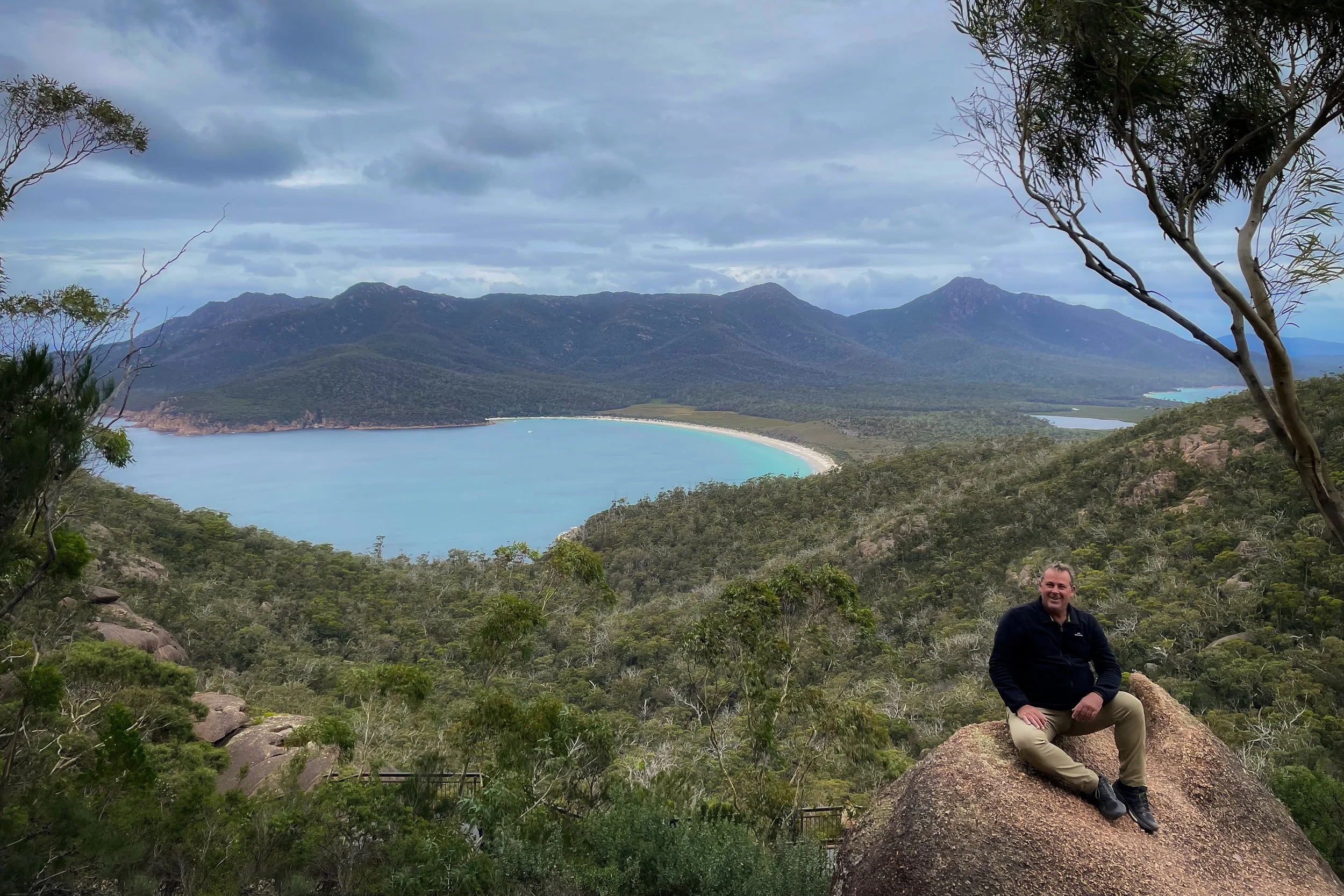
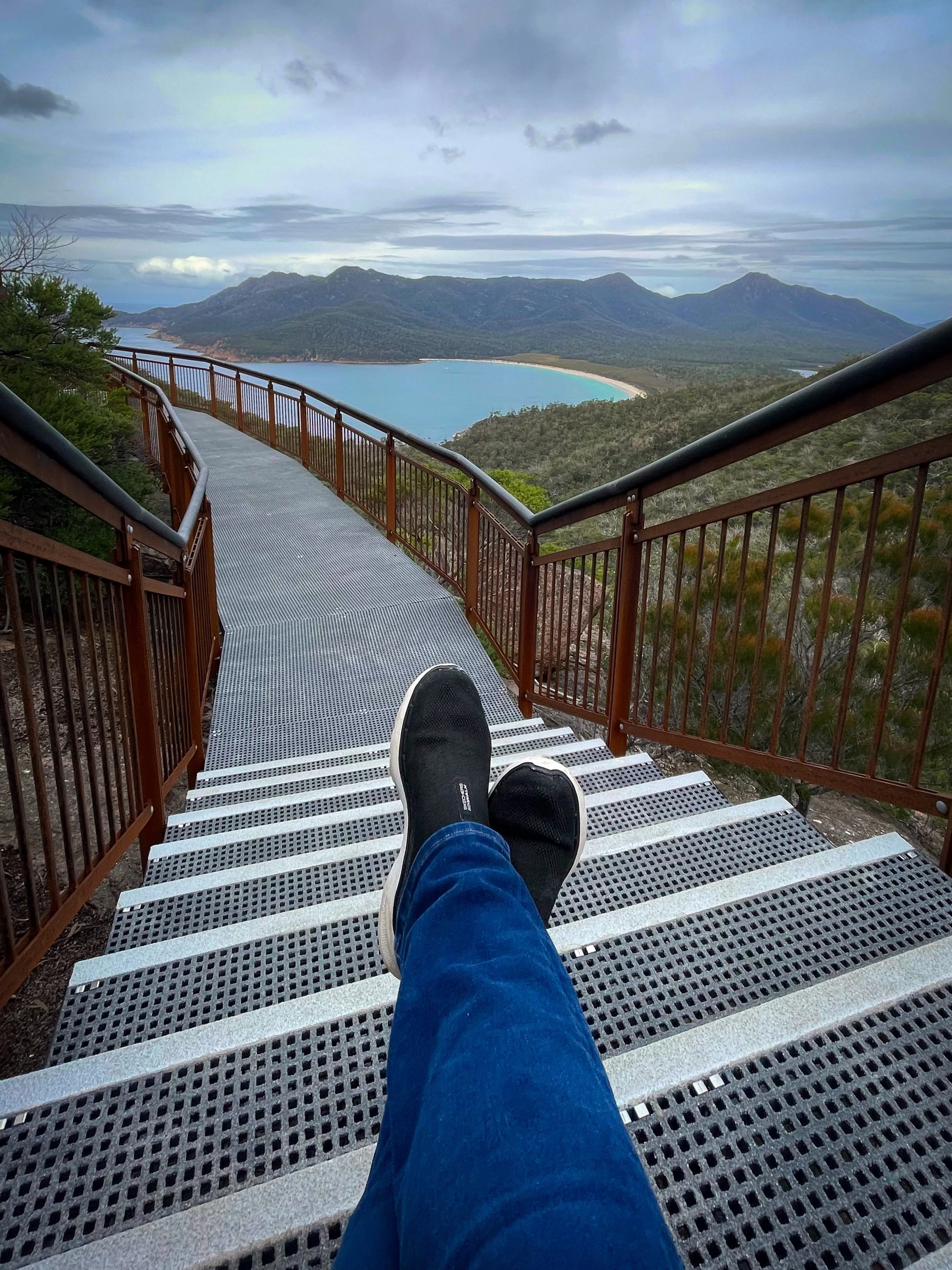
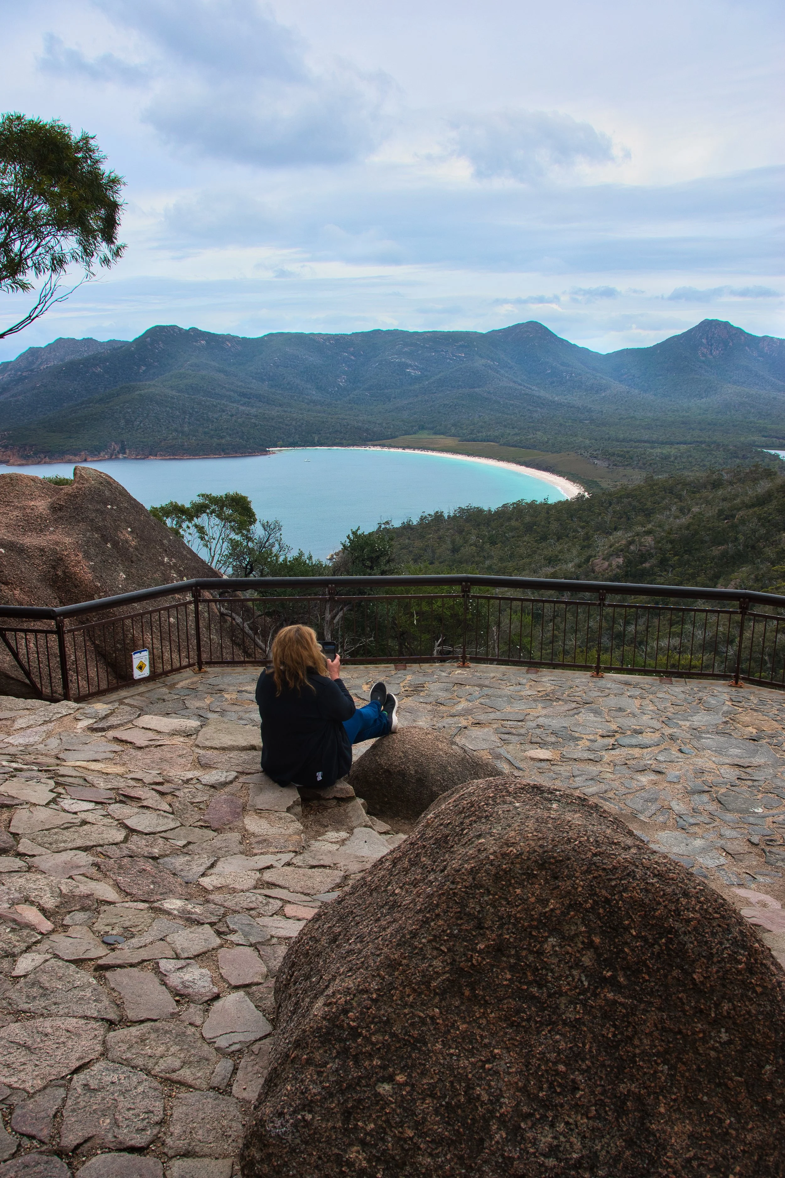
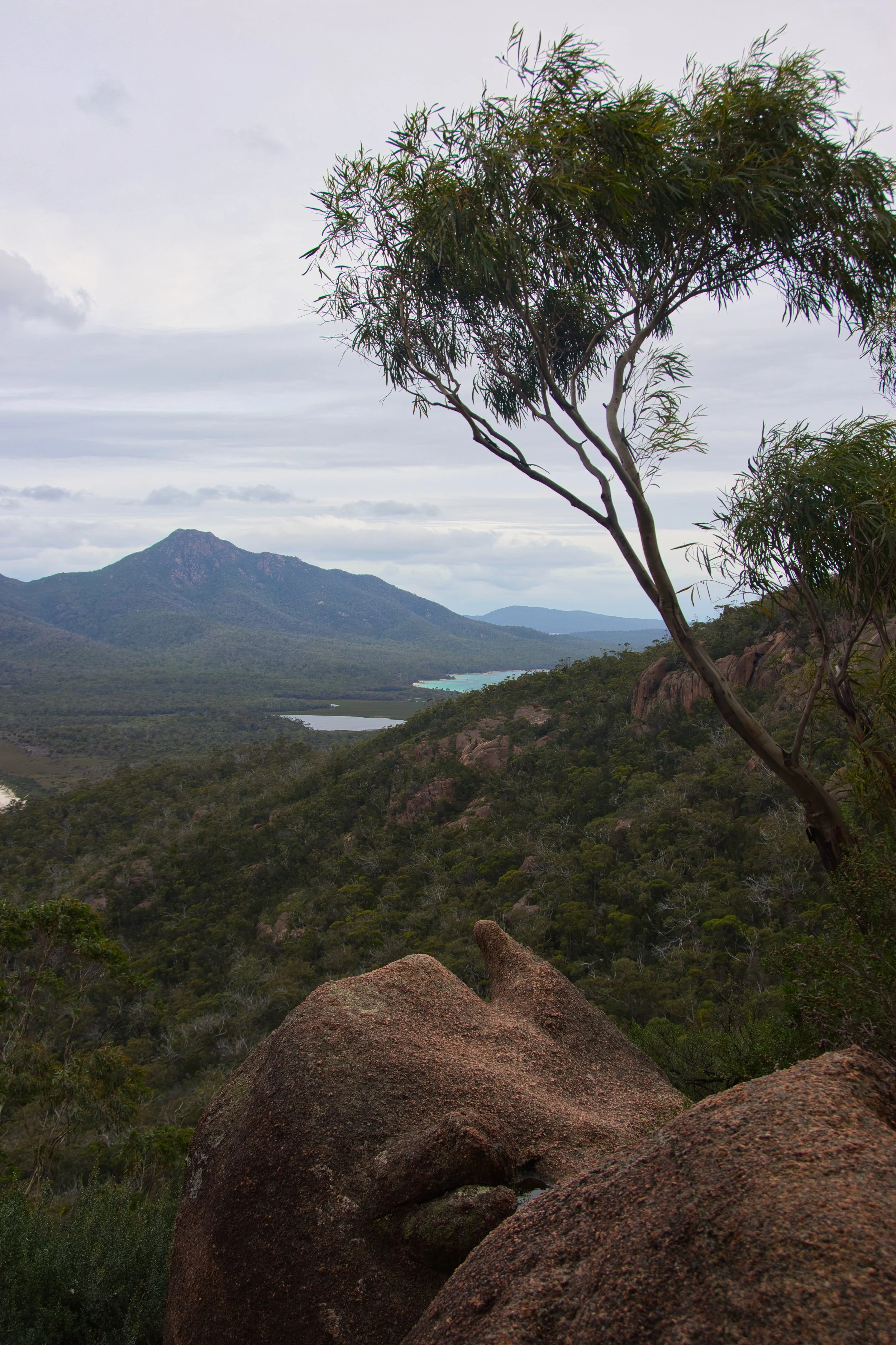
The lookout sits within the saddle of Mounts Mayson and Amos offering a near perfect view of Wineglass Bay and Mount Freycinet to the south. With 2 viewing platforms to admire the sweeping vista, it was very easy to just sit back and take it all in. The screaming lactic acid pains had nothing to do with it, but we honestly though it best to let those recover before proceeding any further.
While the view here was awesome, there are 2 further alternatives for those eager to get the most out of the area. Atop of Mount Amos lies a more spectacular lookout, however it’s a very challenging climb, the final stages reportedly over large boulders requiring a “crawl”. On a clearer day we may have attempted this, but for now, the Wineglass Bay lookout would suffice. In the opposite direction lay a 1,000 step decent to the beach below with the promise of being steeper than those climbed to this point. Needless to say we were very, very happy with the view from here!
Wineglass Bay, Freycinet Peninsular
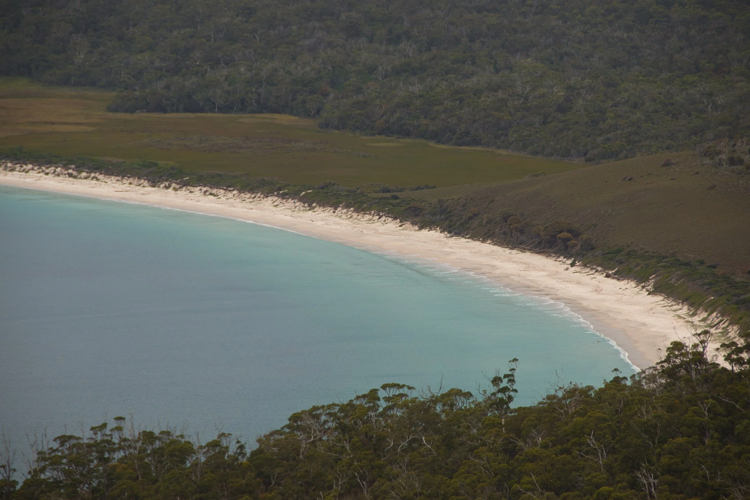
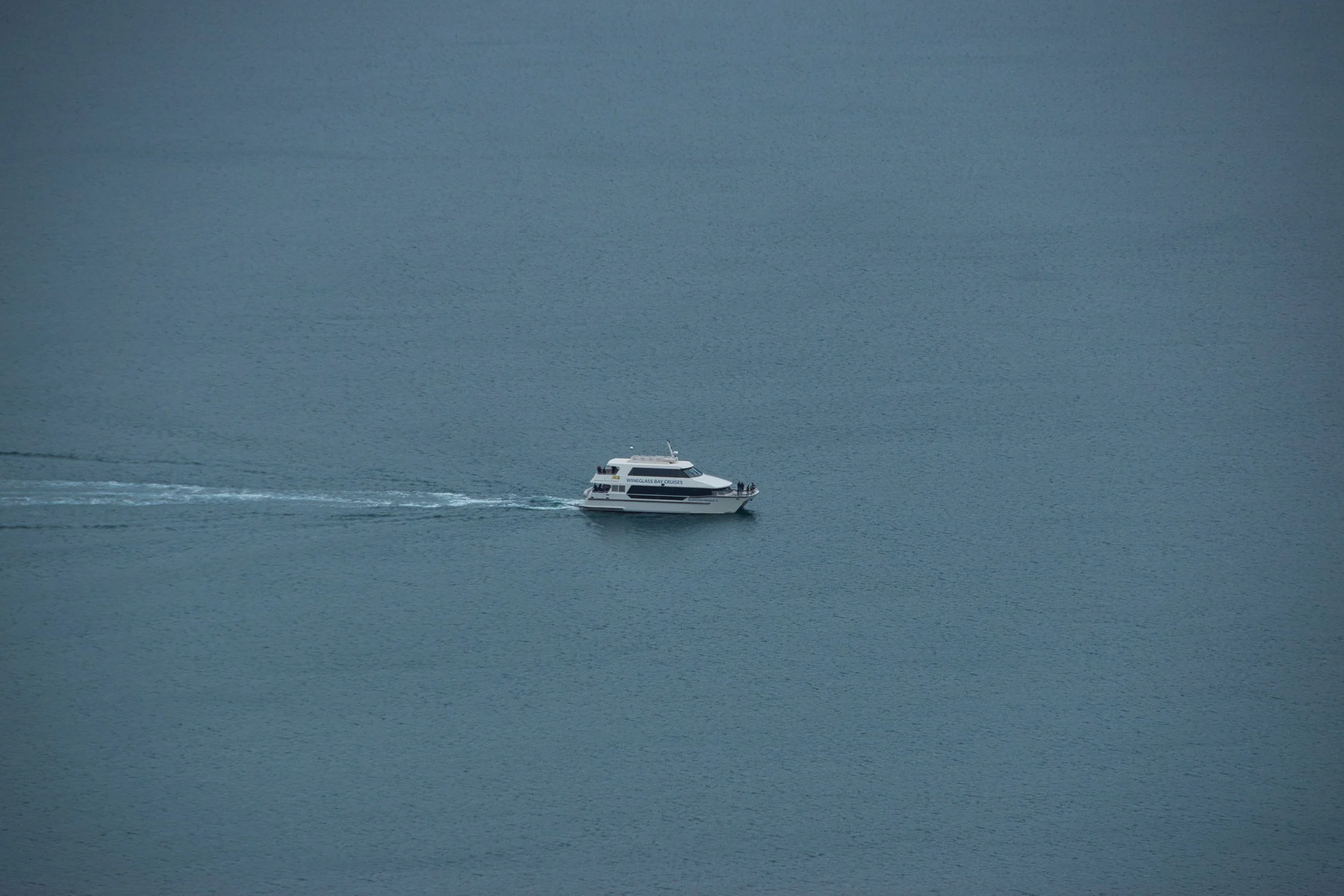
Wineglass Bay is synonymous with Tasmania and to many, iconic of the state. Having researched this trip in length, pouting over beautiful images of the bay, it was a little disheartening to be here on a gloomy, cloud filled day. But…forgetting expectations…this place was simply spectacular. We defy anyone with zero interest in bushwalking or no appreciation of nature not to be blown away by the bay, the beach, the mountains and the sea. Rain or shine, this would always be a great day out.
Paying little attention to time, we reckon we spent 2 hours at the lookout and surrounds photographing, lunching and just plain admiring. We finally made the return journey down the mountain arriving at our awaiting Anthony. In all we covered 6.8 km, took 8,500 steps and climbed the equivalent of 43 flights of stairs on this walk.
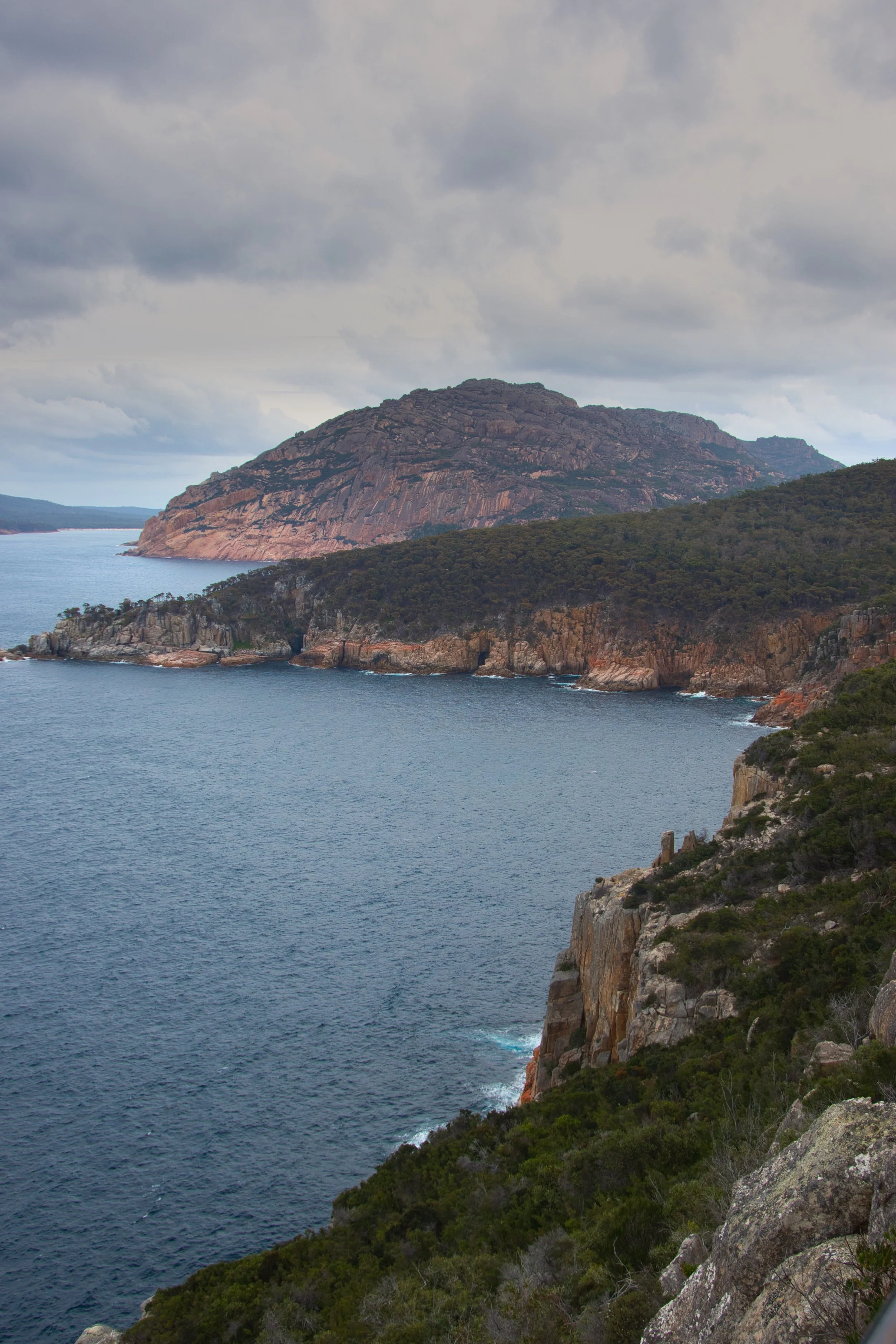
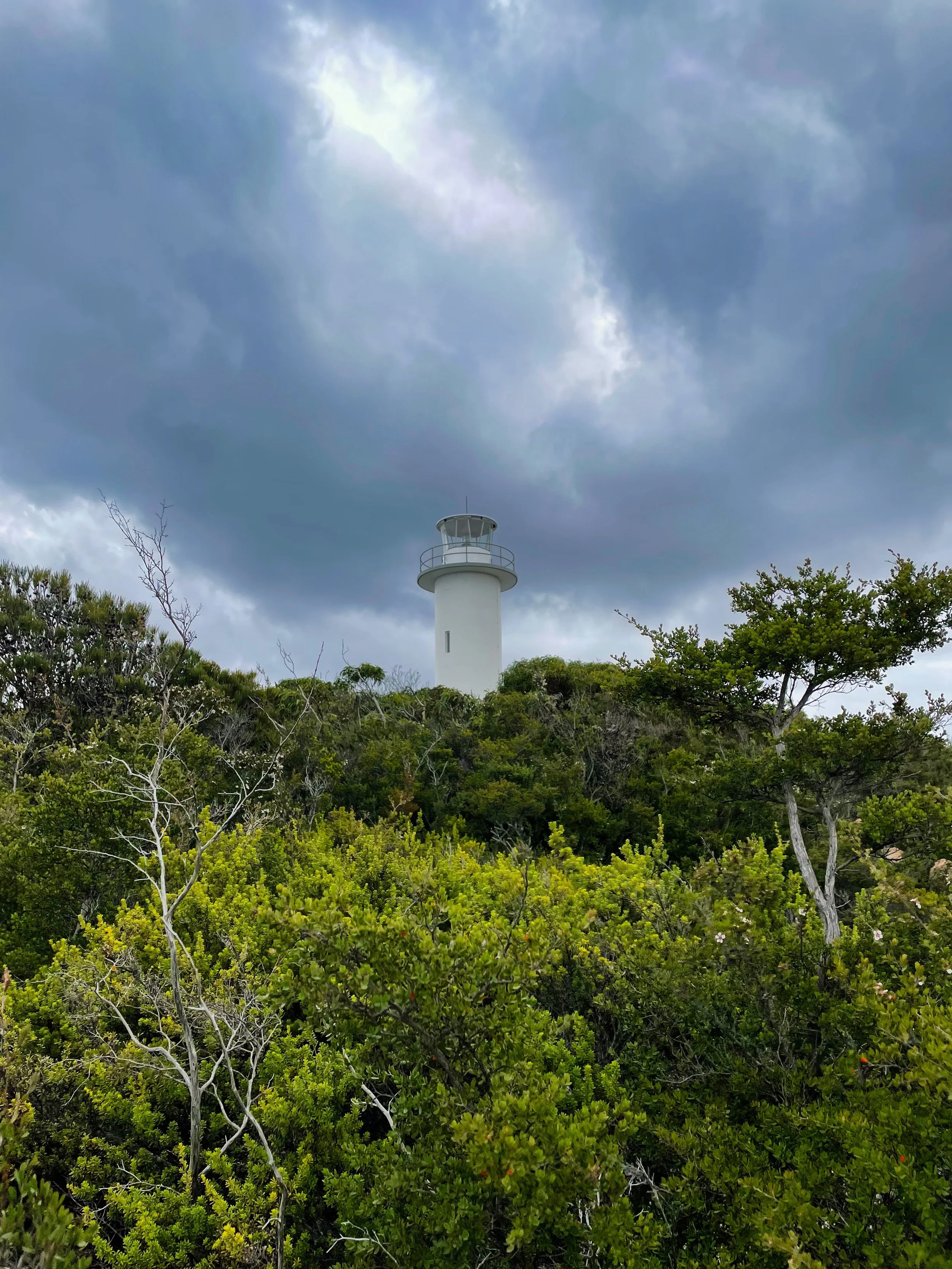
Leaving Honeymoon Bay, we made a short diversion to Cape Tourville on the western shore of the peninsular. Named again by Nicolas Baudin after French naval commander Anne-Hilarion de Tourville who served under King Louis XIV, this rocky cape gives visitors spectacular coastal views of Freycinet National Park and the Tasman Sea.
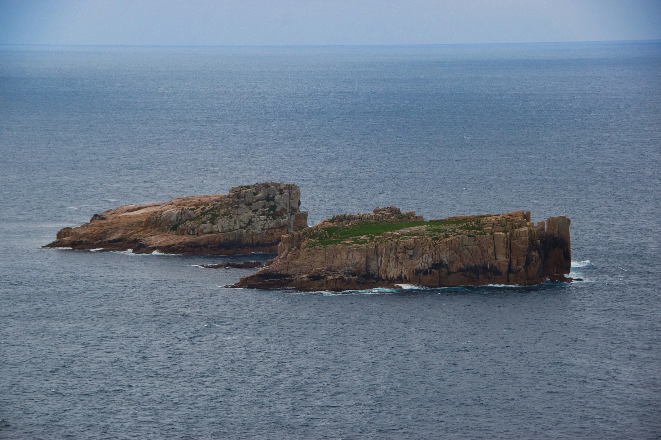
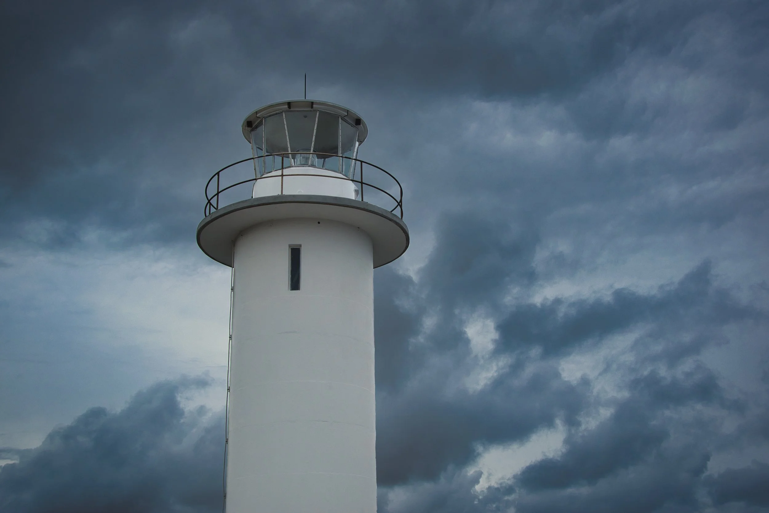
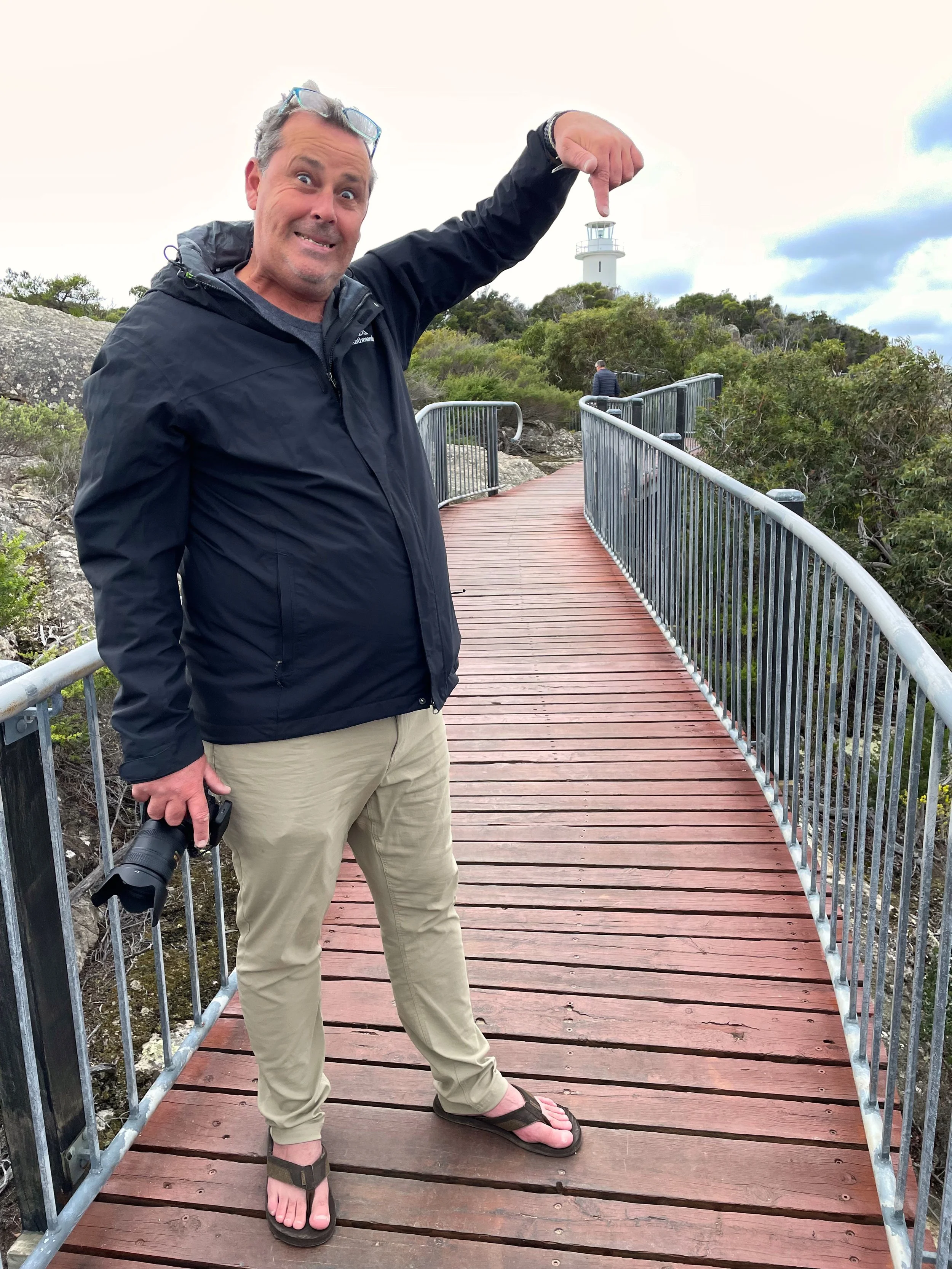
The 600 metre circuit walk is one of the easiest we have attempted, and runs along an elevated, almost cantilevered boardwalk snaking to the contours of the cape. The centrepiece of the loop is Cape Tourville Lighthouse erected in 1971. This automated beacon was built with its sister at Point Home further south to provide better guidance for bulk carriers leaving Triabunna. We spotted various birds circling the waters, and tried harder to spy any whales off the coast. No luck today but we easily found the quaint rock islands known locally as The Nuggets.
We returned to camp accompanied by light washes of rain and poured ourselves a dark and stormy reflecting the outside conditions. A few more and we were set, and we spent the night reviewing photos of what turned out to be one of our best days on tour.
Cape Tourville, Freycinet Peninsular


